
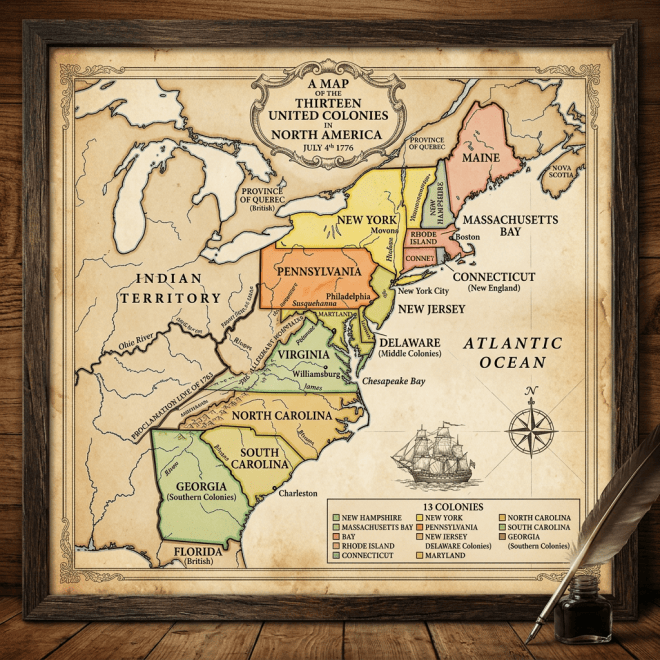
A detailed vintage map showing the thirteen American colonies in 1776
This is a vintage-style map depicting the thirteen American colonies in North America as of July 4, 1776. The map features colored sections for each colony, including New Hampshire, Massachusetts Bay, Rhode Island, Connecticut, New York, New Jersey, Pennsylvania, Delaware, Maryland, Virginia, North Carolina, South Carolina, and Georgia. Key cities like Philadelphia, Boston, and New York City are marked, alongside natural landmarks such as the Hudson River and Chesapeake Bay. The map includes decorative elements like a ship illustration, a compass rose, and is framed in wood with an ink pot and feather quill placed beside it on a wooden surface.

